
The State of Ontario’s Protected Areas Report
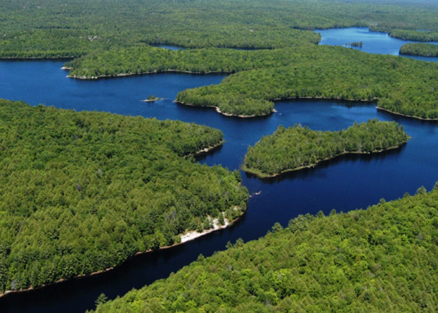
Protected areas play an important role in Ontario’s efforts to conserve nature, cultural heritage and provide opportunities for tourism and recreation. Ontario has established a world class system of protected areas. This system currently includes more than 340 provincial parks and more than 295 conservation reserves covering an area of 9.5 million hectares, or about nine per cent of Ontario.
Ontario’s provincial park and conservation reserve policy is founded on the concept that a naturally diverse and well managed system of protected areas supports a high quality of life for Ontario’s residents and ensures ecological, social and economic benefits now, and into the future.
Provincial parks and conservation reserves are administered under the Provincial Parks and Conservation Reserves Act, 2006 (PPCRA). The state of Ontario’s Protected Areas Report (SOPAR) meets the legislative requirement in which the Minister of the Environment, Conservation and Parks must report publicly on the state of Ontario’s provincial park and conservation reserve system at least once every 10 years.
The State of Ontario’s Protected Areas Report (SOPAR):
- provides context for the planning and management of provincial parks and conservation reserves;
- outlines the degree to which representative ecosystems, biodiversity and elements of our natural and cultural heritage have been protected;
- describes the ecological condition and potential pressures on the protected areas system; and
- looks at traditional uses, recreational, research and educational opportunities and economic values and impacts at a provincial scale.
SOPAR 2021
In 2011, the first State of Ontario’s Protected Areas Report was published as a single report comprised of 4 chapters of indicators covering the reporting period from 2001 to 2009. For 2021, the format for the report was changed to include multiple individual indicator reports covering the reporting period of 2010-2019. This new format allows each indicator report to be updated as new information becomes available, rather than waiting 10 years for a single report to be published. Collectively, the indicator reports meet the requirements under the PPCRA.
Indicators can help to tell us what is happening over time and track the well-being of our provincial parks and conservation reserves. They detect change and trends in things like how well an ecosystem is represented within our protected areas system.
SOPAR 2021 includes the following indicator reports by theme. New indicators may be added over time as information becomes available or to meet new requirements:
Protected Area System
Protected Area Summary
This indicator report assesses how much of Ontario is conserved through protected areas and other effective area-based conservation measures.
Representation
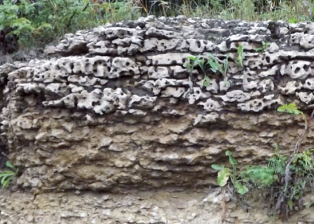
Earth Science Representation
This indicator summarizes provincial representation for geological environments and targets.
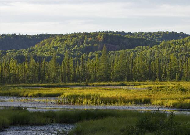
Life Science Representation
This indicator summarizes provincial representation of ecosystem diversity and targets.
Biodiversity
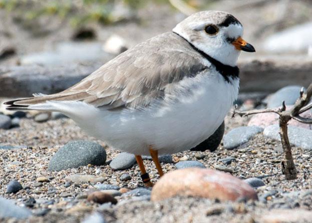
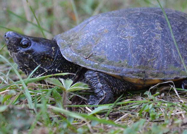
Species of Conservation Concern
This indicator describes the status of species of conservation concern, which includes provincially tracked species and species at risk, within provincial parks and conservation reserves.
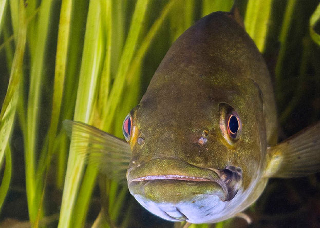
Aquatic Ecosystems
This indicator describes the health of predator‐prey relationships in aquatic ecosystems of provincial parks and conservation reserves.
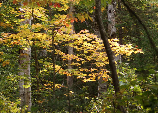
Forest Ecosystems
This indicator summarizes the state of forest ecosystems in Ontario’s provincial parks and conservation reserves by comparing current forest conditions to simulations of predicted natural forest condition.
Ecological Condition
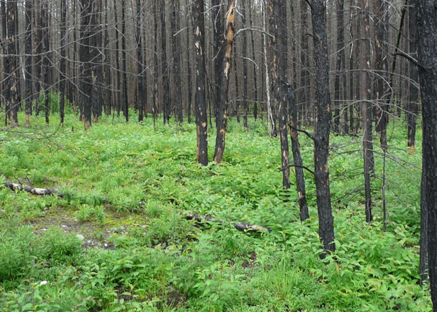
Natural Disturbances
This indicator tracks natural forest disturbance within Ontario’s system of provincial parks and conservation reserves caused by insects, disease, weather events and wildland fire.
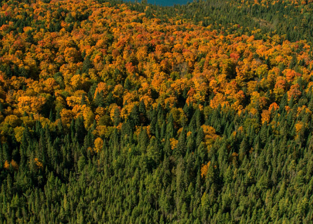
Change in Land Cover
This indicator summarises the amount and composition of land cover across Ontario, including within and near protected areas.
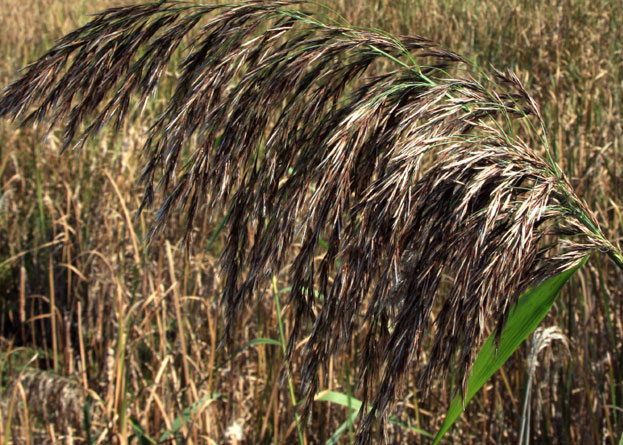
Alien Invasive Plants
This indicator report tracks the presence of alien invasive plants in Ontario’s provincial parks and conservation reserves.
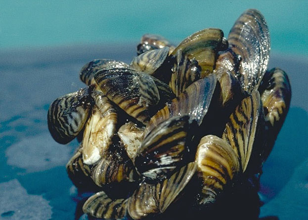
Aquatic Alien and Invasive Species
This indicator tracks the introduction and spread of alien aquatic species in inland lakes of provincial parks and conservation reserves.
Socio-economic Condition and Benefits
Economic Value of Protected Areas
This indicator looks at how provincial parks and conservation reserves contribute to Ontario’s economy.
Revenue and Operational Budget
This indicator summarizes the revenue generated compared to expenditures for provincial parks.

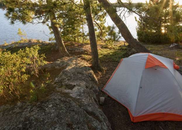
Recreational use of Protected Areas and Traditional Outdoor Activities
This Indicator summarizes the number of recreational opportunities and traditional outdoor heritage activities available to visitors to provincial parks and conservation reserves.
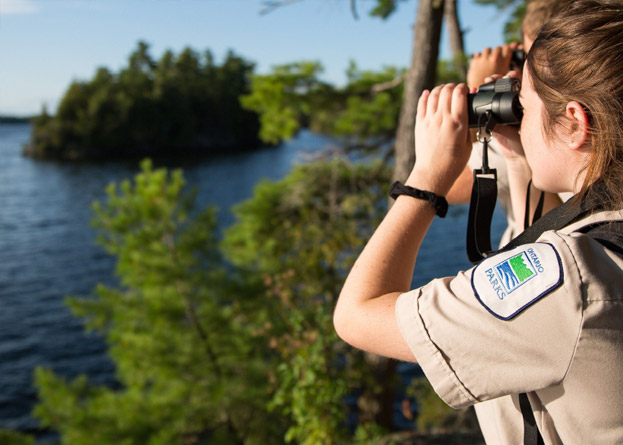
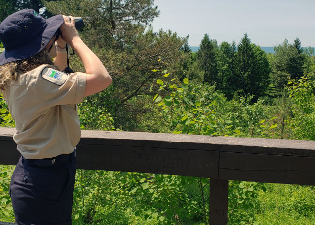
Education and Outreach
This indicator describes how opportunities for residents of Ontario and visitors to increase their knowledge and appreciation of Ontario’s natural and cultural heritage are achieved through the Discovery Program.
Policy/Planning
Management Planning
This indicator provides an overview of provincial park and conservation reserve management planning.
Research
Research Conducted by Third Parties
This indicator provides an overview of authorized research conducted by third parties in provincial parks and conservation reserves.