Backcountry Camping
1. Experience:
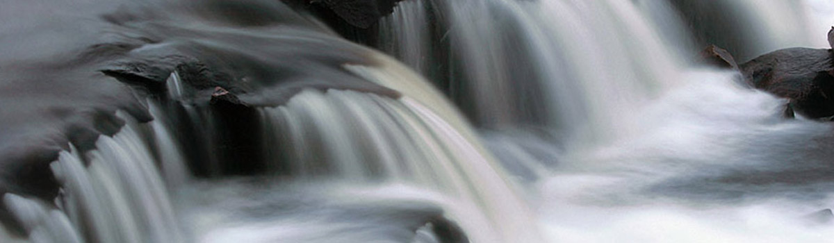
In the spring, Makobe-Grays River Provincial Park is a wild white-water river that flows north through a series of narrow canyons, surrounded by pine forests. Summer paddling consists of flatwater with some moving water and numerous portages.
Canoeists travelling the Makobe River come for the challenging whitewater. Rapids and drops along the river are technical and require scouting. Water conditions differ depending on the season, so please plan accordingly.
Access to the river is via Makobe and Banks Lakes, either by canoe through other routes, or by floatplane, and ends at the town of Elk Lake. A fly-in trip can be done on a long weekend in higher water levels.
Temagami’s backcountry parks consist of one wilderness-class park (Lady Evelyn-Smoothwater) and four waterway-class parks (Obabika River, Solace, Makobe-Grays River, Sturgeon River).
The parks are remote offering solitude and challenge for those seeking intermediate to advanced backcountry canoeing experiences.
Travel into the backcountry parks occurs largely from Crown land access points located a considerable distance away from the protected areas.
Temagami provides some of the most southerly fly-in canoe country in Ontario providing a wide variety of route options.
Backcountry campers may travel in and out of Provincial Parks, Conservation Reserves, and Crown land.
2. Reservations and Interior Camping Permits
Interior camping permits are required for all of the operating Temagami Backcountry Parks.
Permits can be purchased online up to two weeks in advance of your arrival date.
Permits can also be purchased in-person at Marten River and Finlayson Point Provincial Parks.
All campsites are first-come, first-served. Site specific reservations are not available.
3. Trip Planning
Temagami provides endless canoe route options within the Backcountry Parks in connection with the adjoining Conservation Reserves and Crown lands. In fact, routes of almost any length can be created by linking the parks with the rest of the many lakes and 2400km of canoe routes in Temagami.
Trip difficulties range from intermediate to advanced and most involve navigation of flat and moving water (whitewater). Planning for a canoe trip in Temagami involves extensive planning to ensure the trip can be completed safely.
The condition of canoe routes can change from year to year due to forest fires, floods, water levels, and other natural forces. Check the “Alerts” tab on the backcountry park websites and follow “Temagami Backcountry Provincial Parks” social media pages for updates.
Purchase maps for planning and tripping purposes online at the Ontario Parks Store, or in person at Finlayson Point or Marten River Provincial Parks.
The book “Temagami – A Wilderness Paradise” by Hap Wilson has detailed information on all the common canoe routes in Temagami.
Information on local outfitters and the services they offer is available from the Ontario Travel website.
The online resource page Ottertooth.com provides backcountry tripping information as well as ice out and freeze up updates for Temagami.
For detailed information on the location of protected areas and Crown lands visit the Crown Land Use Policy Atlas.
For specific information on prohibited/permitted activities in the Temagami Area Backcountry Parks see the park management plan.