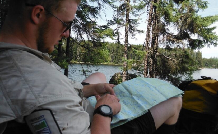
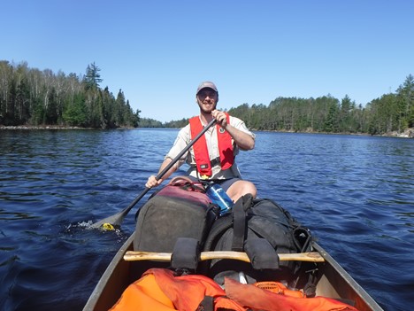
Today’s post comes from Carter Morash, who has worked as a backcountry warden in Quetico Provincial Park since 2015.
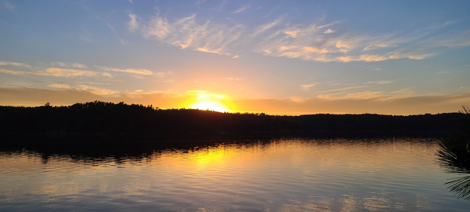
The north end of Quetico is a beautiful place.
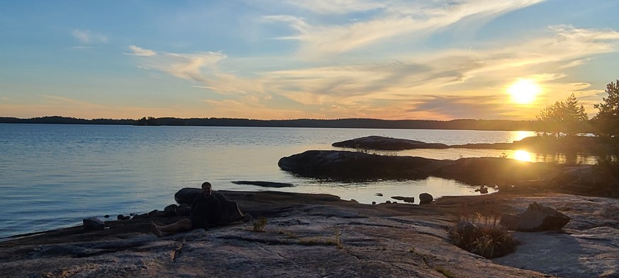
There are quiet lakes, great fishing spots, wildlife viewing opportunities, and a variety of routes to try out.
Did you know that the north end is also paddled less than the southern end of the park? That makes it a great area of the park to explore in the fall!
Many of Quetico paddlers from the U.S. use the Canada Border Service Agency’s (CBSA) Remote Area Border Crossing Program to start their canoe trips at our Prairie Portage and Cache Bay Entry Stations along the Minnesota-Ontario border.
If you want to try something new, here’s a guide to Quetico’s north end.
Choose your entry point, choose your adventure
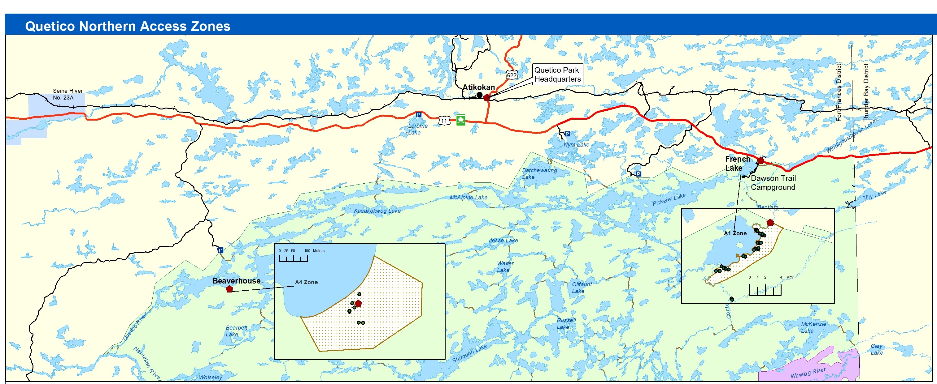
The north end’s entry points are all accessible from Highway 11, which runs along the northern boundary of the park.
When making a reservation, there are six entry points along the north end of the park to choose from.
You can pick up your permits from three different ranger stations: Dawson Trail Campground/French Lake, Atikokan/Quetico Park Headquarters, and Beaverhouse.
Whether you’re looking for a three night base camp on large sandy beaches, or a 10-plus day adventure through waist-deep mud and creeks full of beaver dams, accessing the park from the northern entry points offers every type of paddling experience!
Interested in historical use? Come see remnants of logging from the past, pictographs, and routes used by both Indigenous Peoples and voyageurs.
Sandy beaches? Check.
An abundance of beautiful campsites? We have ’em.

Fishing? Enjoy some of the best Smallmouth Bass fishing in the park.
Both Pickerel Lake and Quetico Lake are very similar to Basswood Lake in the south.
Tall trees and history: Dawson Trail Campground Entry Point
The Dawson Trail Campground is situated at the very northeast corner of the park is located on French Lake.
It is the easiest way to access Pickerel Lake.

Typically, it takes less than two hours to paddle down the meandering Pickerel River before reaching “The Pines:” a large sandy beach with campsites amongst a Red Pine stand.
Starting or ending a trip from Dawson Trail Campground also has the benefit of park showers and a chance to explore our Visitor Centre, showcasing displays on wildlife, forest fire research, and park history.
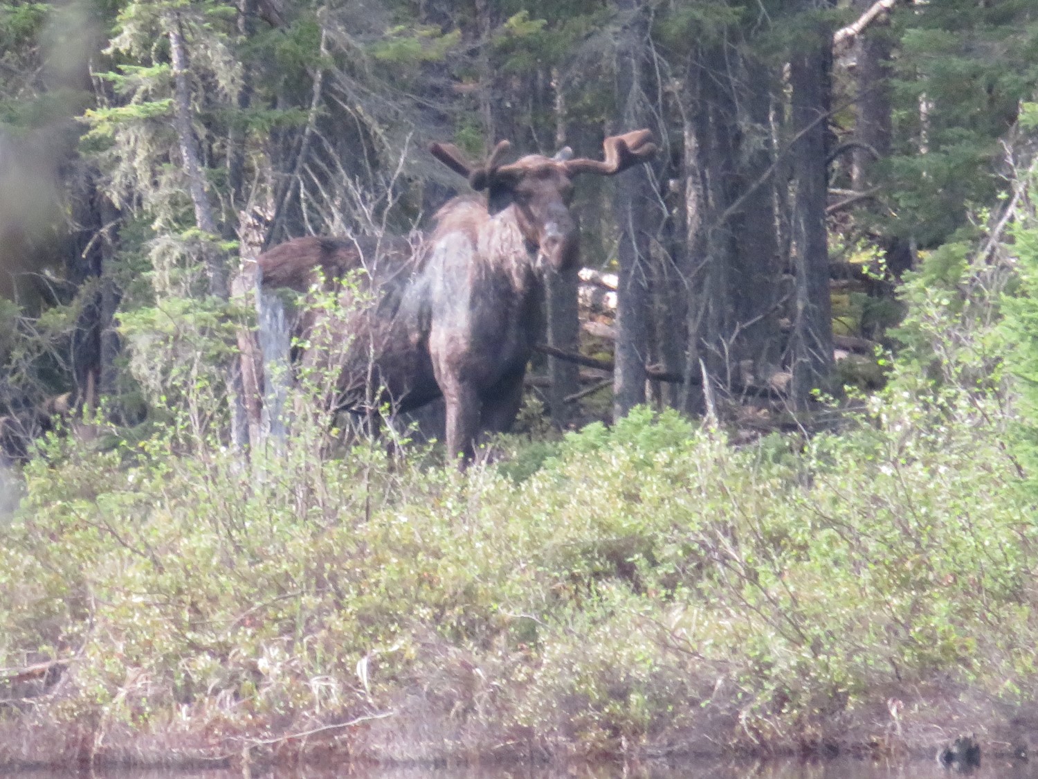
Mud and moose: Baptism Creek Entry Point
For those interested in the more adventurous areas, Cache Lake (Baptism Creek Entry Point) is a hidden gem that offers challenging paddling excursions.
It is probably the most secluded place in the entire park, and for good reason.
The only access to this wonderful trout lake comes from taking either a 3 km (2 mile) portage off Trousers Lake, or a 3.5 km (2.2 mile) portage up from Mackenzie Lake.
The bugs can be vicious and may outnumber you thousands to one at times!
The portages: long, muddy, and wet (including a creek to ford). But if you want to see moose, it is the place to go.
I’ve personally been to Cache five times, and only seen other people once. But I’ve never seen less than four moose on the paddle down Cache River!
A more relaxing route: Start at Beaverhouse
Breathtaking views: Cirrus Lake and Quetico Lake Entry Point

While the bugs might exist everywhere, gruelling portages certainly don’t.
For those interested in more leisurely paddling trips that centre on sightseeing and fishing, and include some slow days, Quetico’s north end has those, too.
Starting at Beaverhouse and paddling east (either a Cirrus Lake or Quetico Lake Entry Point) is one of the easier ways across the north end.
I always try to plan my own trips west to east when possible because Quetico’s prevailing winds come out of the west.
Relaxing paddling: Beaverhouse to Nym Lake route
Beaverhouse Lake to Nym Lake is a medium length trip, with fairly short and easy portages.
Cedar Portage is the hardest of the trip. It is only 600 m long, but can be muddy on both sides, in low water.

The route is approximately 60 km long and takes you through one of the best Walleye lakes in the park: Jesse Lake.
A trip like this could be done in as little as three days for the more ambitious folks, but 5-6 days would be more reasonable and relaxing.
Incredible fishing: Rawn Narrows and Russell Lake
Some other great Walleye fishing locations includes Rawn Narrows and Russell Lake. The narrows will take you into shallow weed beds where you should always have a line dragging in the water. It’s not uncommon to hear of fish caught while simply paddling through, line skimming along the surface behind you.
Remember to pinch those barbs though, as Ontario’s Fishing Regulations only allow for barbless artificial lures in Quetico.
Heading down to Russell Lake, the key place to fish is both above and below Chatterton Falls. Getting to fish while having a beautiful view? Sign me up.
Waterfalls aplenty: Poet’s Chain, Keats, and Shelley Lake
If you want more sightseeing than fishing, continue along the Poet’s Chain into Keats and Shelley Lake.
Not only will you get to see more waterfalls (Split Rock Falls, Have-a-Smoke, and Snake Falls), but you’ll also get to pass through some of the burn area from the 2023 season without having to camp in it.
My favourite portage: Have-a-Smoke
Personally, Have-a-Smoke portage is my favourite area in the park.
I’ve seen wolves there while stopping for lunch, the falls are beautiful, and there’s a great swim spot at the bottom of the falls.
Watch for the oak trees along the trail. These trees show the history of both Indigenous Peoples and the voyageurs who would have had acorns with them for food.
It’s time to try a northern route!
I’ve been to almost every lake in the park by now; I love experiencing new places and areas I haven’t seen!
In my opinion, don’t keep going on that same trip you’ve done every year since you were a kid. Mix it up!
Go explore some of the other wonderful places Quetico has to offer.
So if you’re considering a quick remote border crossing paddling adventure, why not expand your horizons and take a drive north to paddle Quetico this fall instead?
Trip planning
To help select your northern paddling route visit our portage maintenance map or contact the parks’ trip planning line at (807) 597-2735.
To reserve, visit the reservation website and select “Backcountry” and “Quetico.”
Quetico’s north end (Dawson Trail Campground) can be accessed via Highways 61 and 11 from the Pigeon River Border Crossing (194 km/120 miles and 2 hours and 15 minutes) or from the International Falls/Fort Frances Border Crossing via Highway 11 (2 hours, 185 km/114 miles).