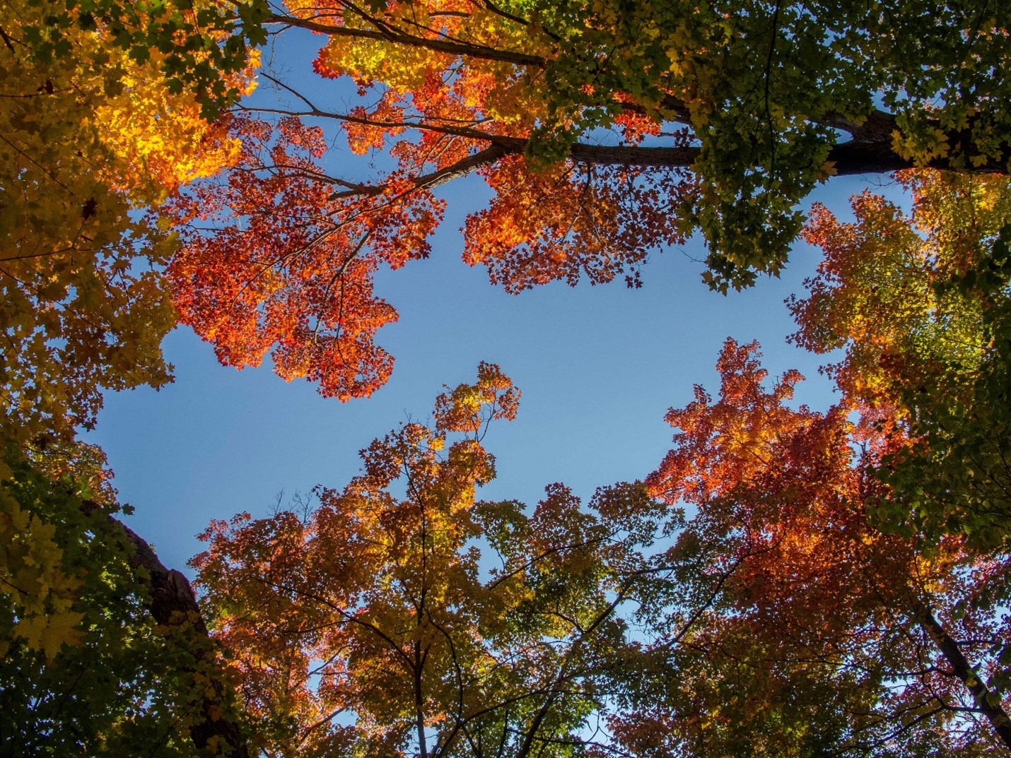
September is one of the best times of the year to get out into nature and hike!
Most of the month of September is still technically summer. While usually cooler on average than August, it’s still warm and often without the humidity. Not to mention, bugs are just a distant memory!
The Sudbury region is rich with opportunities to get outside and enjoy nature as summer winds down.
Eight provincial parks within an hour’s drive of Sudbury, six of which are open after the September long weekend. Each one has its own character and set of recreational opportunities.
Here is a selection of parks and trails to consider if you live, are staying in town, or camping in the Sudbury area this September:
Halfway Lake Provincial Park
Open until September 24, 2023
Straddling Highway 144 an hour northwest of Sudbury, this park has a distinctly different character than the other Sudbury parks.
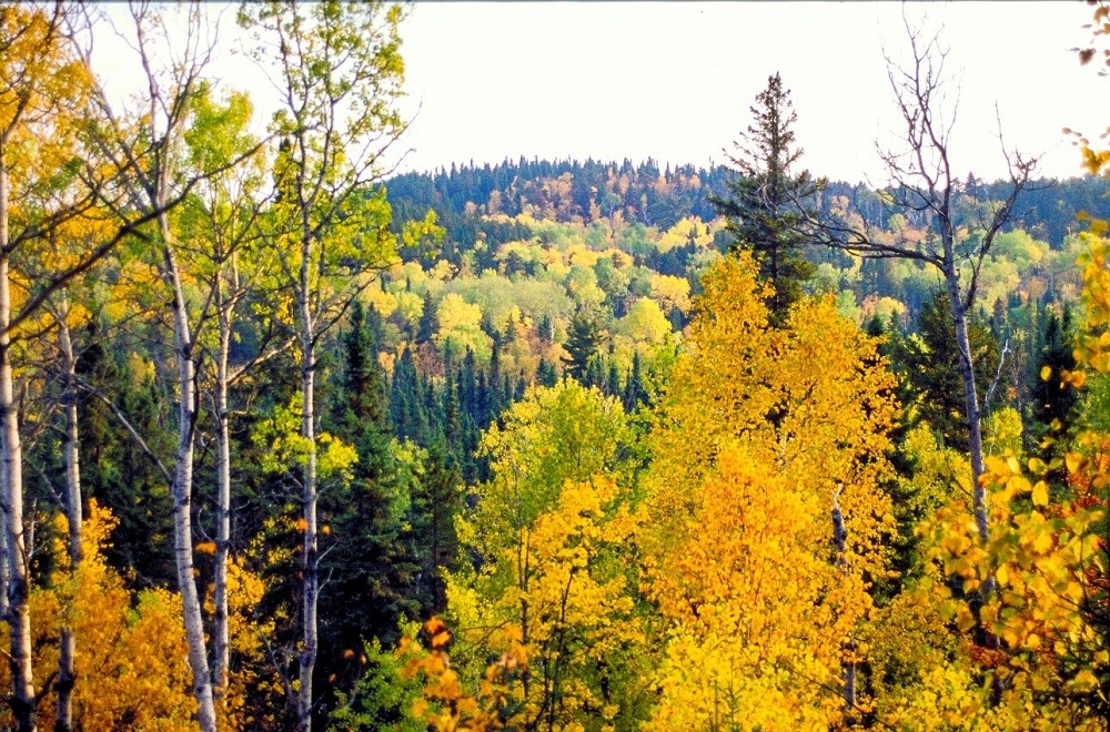
Its rugged landscape contains the rocky Canadian Shield but cloaked in boreal forest, rather than the mix of maple and pine common south of Sudbury.
Jack Pine, Black Spruce and Balsam Fir are the evergreens that dominate this forest, along with deciduous White Birch, Trembling Aspen, and other poplar species.
As fall arrives, the deciduous trees turn golden, orange, yellow, and peach, which are striking against the evergreens.
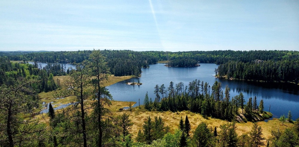
Halfway Lake has three trails that share one trailhead.
The short Moose Ridge Trail (2 km, moderate) with its lookout over the campground and Halfway Lake itself.
Echo Pond Trail (6 km, moderate) is longer and really immerses hikers in the boreal forest.
Hawk Ridge Trail (15 km, strenuous) offers the longest and most challenging hike. This trail loops through the park to a chain of lakes on its west side, with some great views that highlight its rugged Canadian Shield landscapes, forest, and clear blue lakes. Make this an all-day hike and take in stunning views.
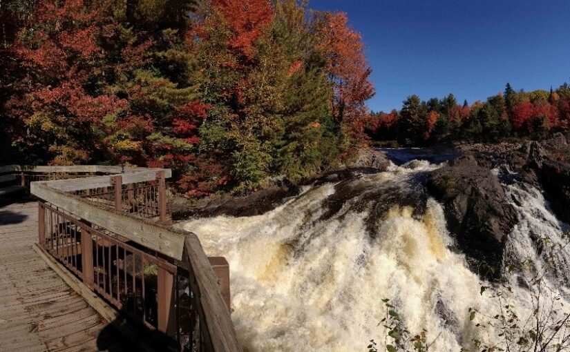
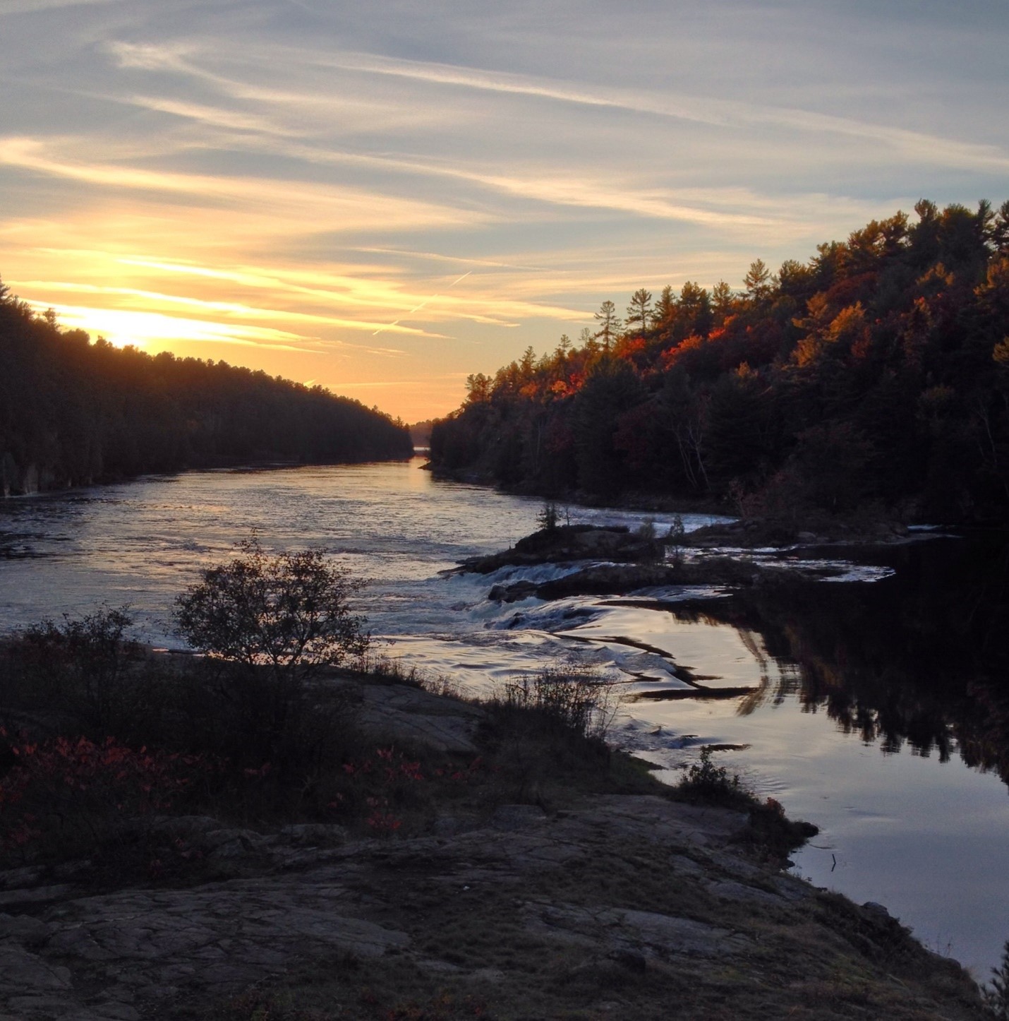
Chutes Provincial Park
Open until October 10, 2023
Though the river’s name means “River of Sand” in French, it flows through Chutes over bedrock in a spectacular series of waterfalls, cascades, and rapids known as the “Seven Sisters.”

This spectacle builds to a big finale as the river reaches the Main Falls. Visitors can stand on a viewing deck to take in the river’s majesty here.
During the first half of the 1900s, lumberjacks built a huge log flume over this drop to protect the timber they had cut in the winter and were driving down to the mill. The log flume or “chute” is what gave the park its name.
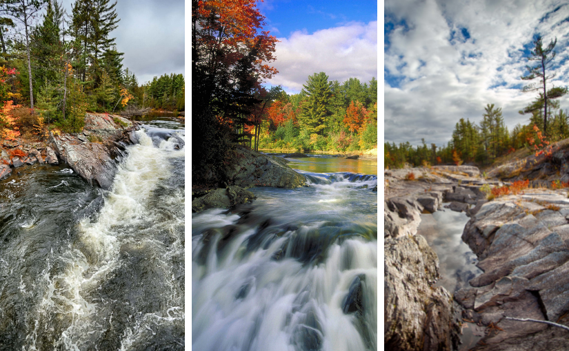
Follow the Twin Bridges Trail (6 km) to see the river perform its acrobatics. This is an easy hike to the first lookouts and bridge over the river.
The second half is more typical of a park hiking trail and crosses the two bridges to the east side of the river.
Chutes is located an hour west of Sudbury just off Highway 17 at the town of Massey
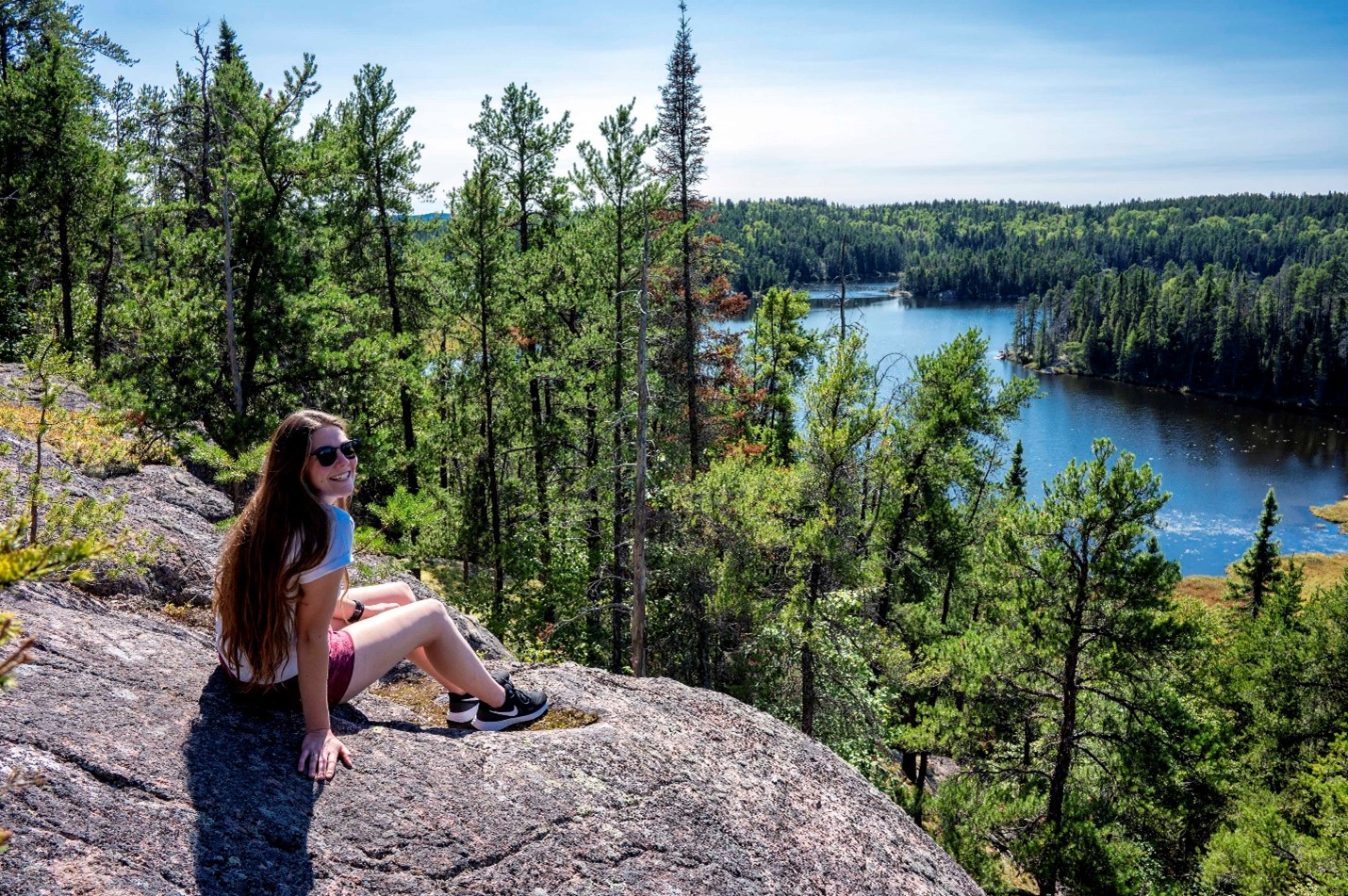
Killarney Provincial Park
Open year-round
Killarney is a well known hiking and canoeing destination, especially in the fall!
Many of the trailhead parking areas fill on weekends. Weekdays are the best times to visit as fall colours peak.
The Crack is a favourite destination for many visitors, and its parking lot often fills first. The Crack is a difficult hike and before trying it, hikers should ensure they are prepared, properly equipped, and have enough daylight to complete the route.
Need a different trail? You’re in luck! Killarney has six different trails to choose from to fit your skill level and your timeline.
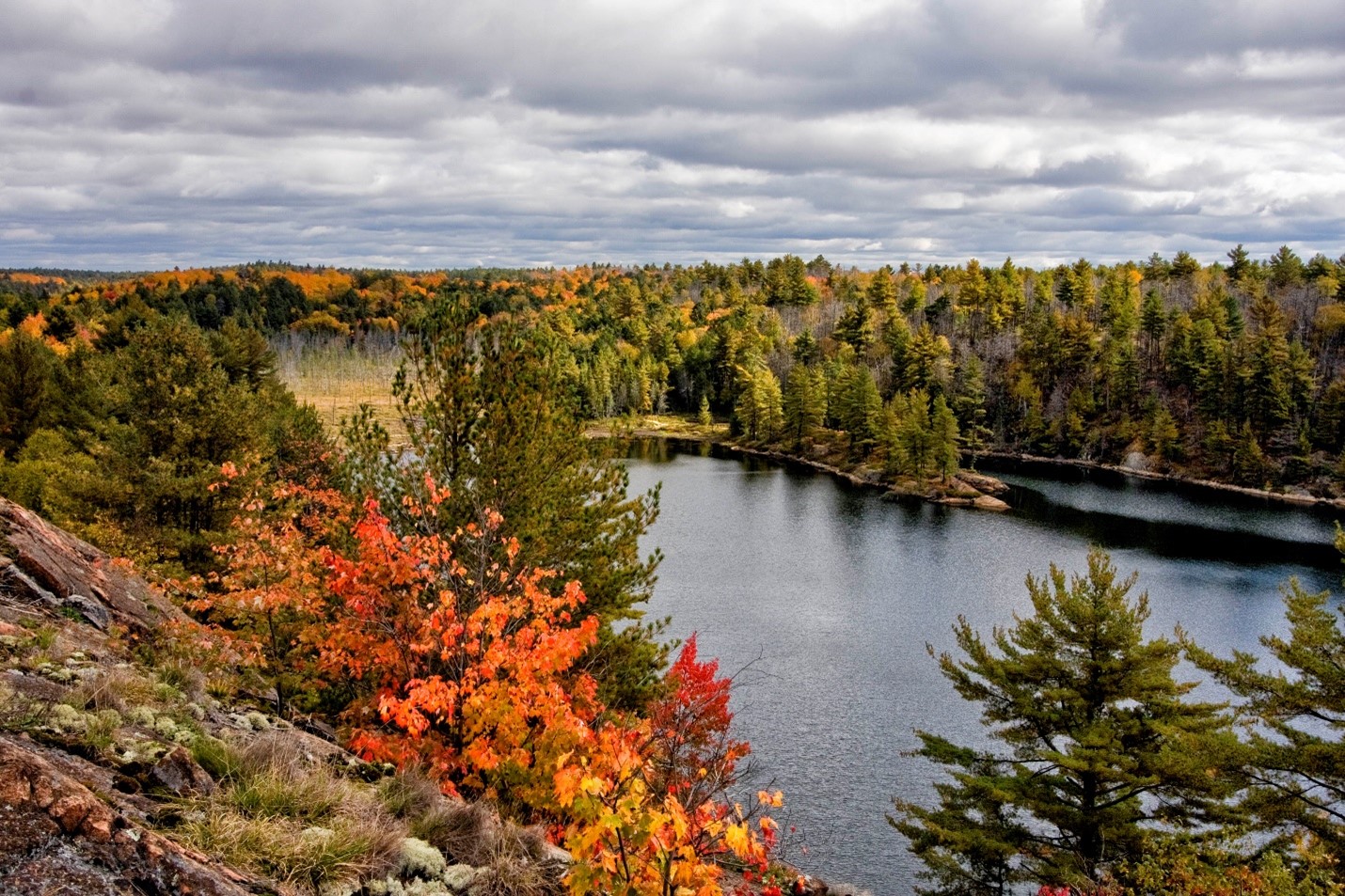
If you haven’t tried the Lake of the Woods Trail, it should be your first stop!
This 3.5 km trail (moderate to difficult) circles the Lake of the Woods in Killarney’s southeast corner, accessible from the Bell Lake Road.
Recommended as a counterclockwise hike, the trail climbs a ridge of granite on the north side of the scenic little lake with great views of the lake below, passing through bedrock barrens and patches of forest, before descending into the small valley that holds the lake.
On the south side of the lake, a side trail crosses a boardwalk to a small island with views down the lake to its west end.
Towering Yellow Birch and Sugar Maples add fall colour to the forest in late September and early October.
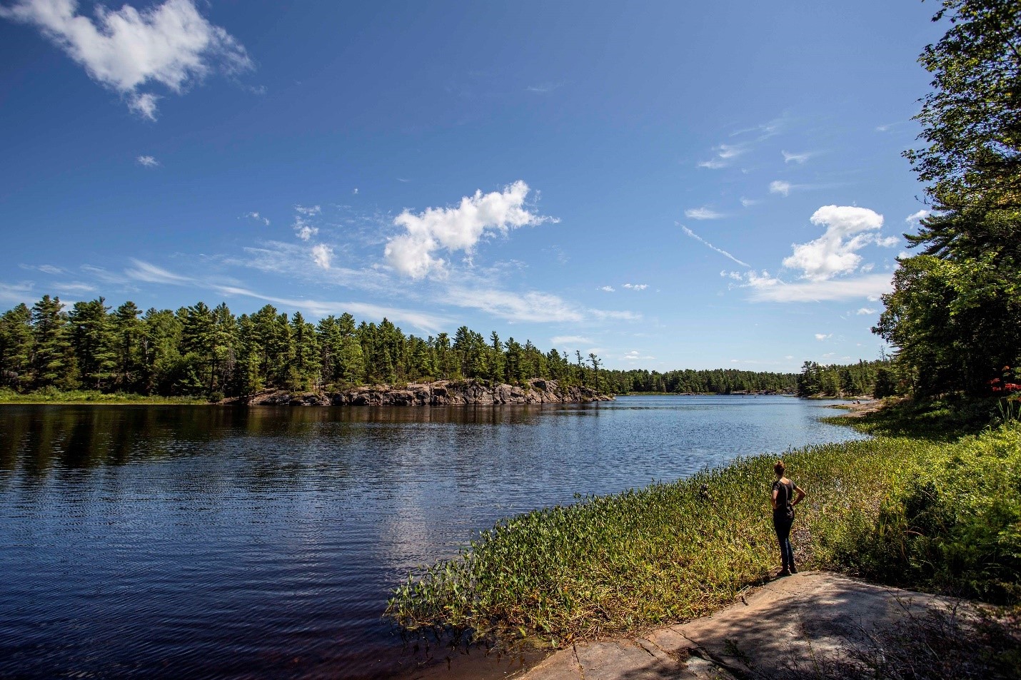
French River Provincial Park
Open until October 22, 2023
An hour south of Sudbury on Hwy 69/400, the highway crosses the scenic French River.
This river was the first designated Canadian Heritage River because of its outstanding natural, cultural, and recreational values. The French River remains a popular canoeing and kayaking destination for backcountry campers and paddlers for good reason.
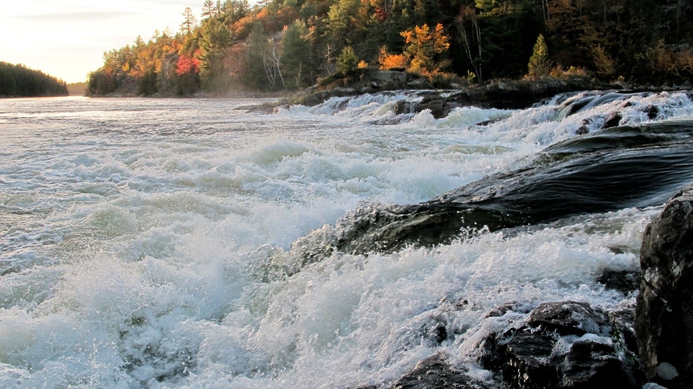
For those who are just passing by or staying in the area but not wanting to get out on the river and backcountry camp, the award-winning French River Visitor Centre with its “Voices of the River” exhibit hall provides an excellent overview of all its outstanding values.
The Recollet Falls Trail (4 km return, moderate) leaves the Visitor Centre and follows the river with plenty of views of the French River Gorge.
Follow the trail for 2 km to Recollet Falls. Here you’ll find the scenic falls and a short portage around it that allows canoeists to avoid a dangerous drop. This portage is part of an Indigenous network of waterways used for trade and travel for thousands of years, and was a key link in the Canadian fur trade.
Located 70 km south of Sudbury, the French River Visitor Centre is open until Thanksgiving, Thursday through Monday, 9:30 a.m. to 5:00 p.m.
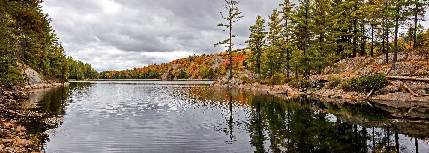
Grundy Lake Provincial Park
Open until October 10, 2023
Just south of the French River, Grundy Lake contains a wide variety of landscapes from lakes and wetlands to pine forests and open bedrock barrens, making it a great place to hike.
The park has several great trails, but the Gut Lake Trail might be the one that sums up the park’s collection of diverse habitats the best.
The 2.5 km trail winds through towering White Pine, passes clear blue lakes and green wetlands, as well as traversing open bedrock barrens that have that iconic look of the Canadian Shield.
Glacial ice sculpted the bedrock here for thousands of years, grinding and smoothing, plucking and hollowing.
The ice left behind deep hollows where lakes formed, and shallow ones where wetlands formed.
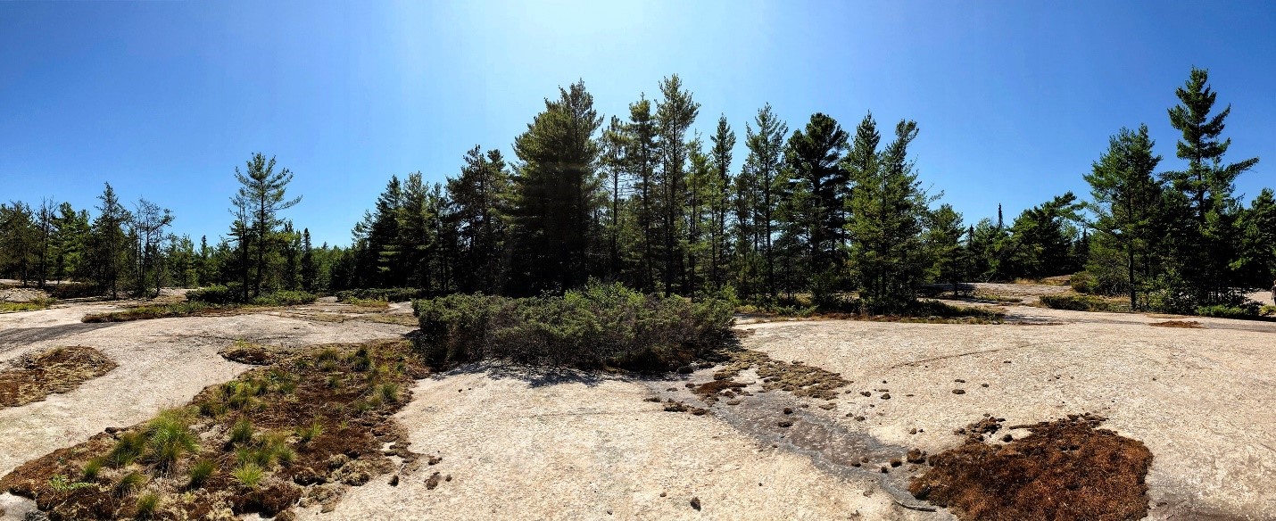
Sand and gravel deposits were colonized by plants — at first tundra and taiga, then boreal, and finally today’s forest dominated by towering White Pine. Add to that mix of habitats is the often-expansive open bedrock barrens, where plants eke out their existence in the cracks in the rock.
This mix of landscapes and habitats creates a diverse ecosystem filled with plants and animals. It also makes for a really interesting and scenic hike!
Grundy Lake Provincial Park is situated between Sudbury and Parry Sound, a kilometre off Highway 69 on Highway 522.
Looking for more reasons to visit Grundy Lake?
Mashkinonje Provincial Park
Open year-round
Mashkinonje Provincial Park, located on the west end of Lake Nipissing, boasts a diverse system of wetlands supporting all the major wetland types, including marshes, bogs, swamps, fens, and ponds!

Fall is a great time to enjoy this park. Even the wetland grasses become golden!
The first 600 metres of Mashkinonje’s Loudon Peatland Trail is barrier-free, and leads to a viewing platform at the peatland’s edge.
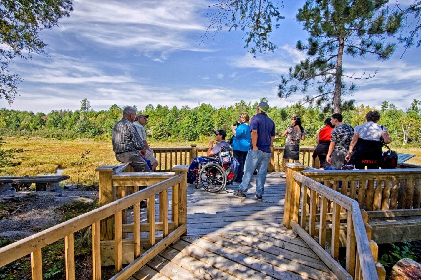
The trail has a crusher-fine surface and a long boardwalk across the first wetland. There is also a viewing platform overlooking the wetland with some interpretive panels.
The trail includes accessible parking, washrooms, and picnic tables at the trailhead.
Mashkinonje is located 1 hour from North Bay, and 1 hour and 15 minutes from Sudbury, on Highway 64.
Keep your eyes on the Fall Colours Report!
Planning your hike to include fall colours? Don’t miss the Ontario Parks Fall Colour Report.
Parks update their fall colour change weekly.
Have a great hike!
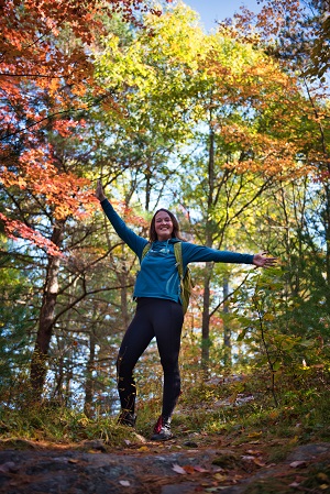
We want you to have a safe and enjoyable hike.
Please remember to take water with you, wear appropriate footwear for the trail you’re taking, bring a pack with useful items (sunscreen, snacks, bug spray, extra fleece or rain jacket, flashlight, first aid kit).
You never know when you’ll need them!
Know the area you’re hiking in — take a physical map, make sure your phone is charged and has service, and keep an eye out for trail signs — familiarize yourself with the trail layout at the trailhead before you start your hike.
Learn more about having a safe hike.