Park features on this map are representative only and may not accurately depict regulated park boundaries. For official map representation of provincial parks, visit Ontario's Crown Land Use Policy Atlas.
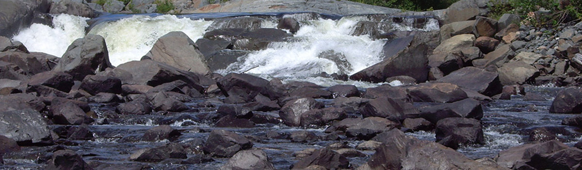
- Sturgeon River
No Main Entrance - general location of park
Latitude: 46.720316
Longitude: -80.363981
Park Maps (pdf)
Purchase
To purchase maps for planning and tripping purposes visit the Ontario Parks online store.
More information
For more information on the location of protected areas and Crown lands visit the Crown Land Use Policy Atlas.