Today’s post comes from Joanie McGuffin (paddler, author, and executive director of the Lake Superior Watershed Conservancy (LSWC)), and Holly Drew (LSWC Marketing and Communications Coordinator).
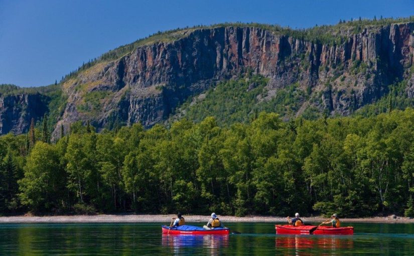
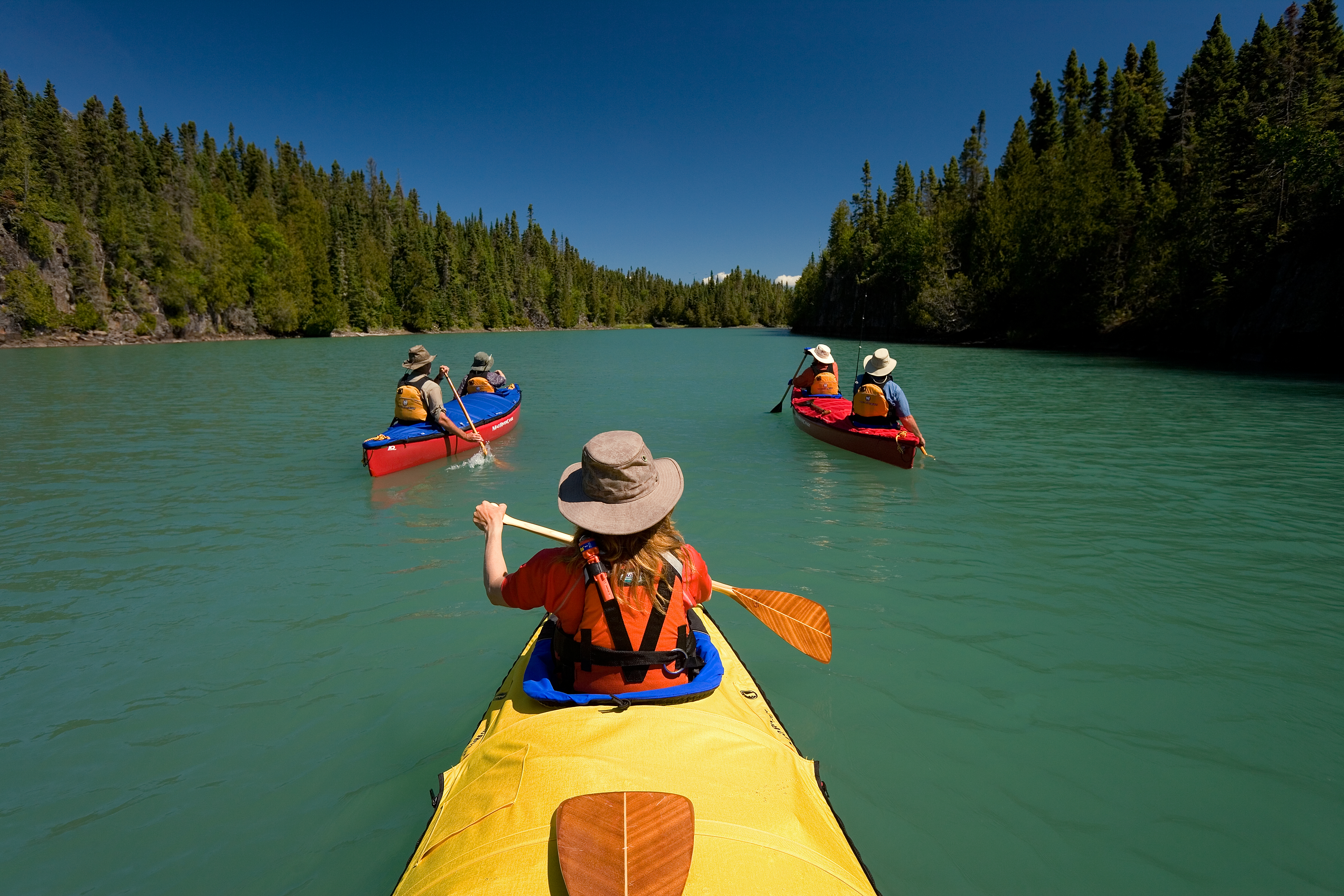
For thousands of years, people paddled birchbark canoes along the shores of Lake Superior to get from place to place. Travelling and trading, hunting and fishing; these were the activities of the historic Lake Superior Water Trail, now being celebrated as part of The Great Trail by Trans Canada Trail.
It stretches for 1,000 km along the north shore of Lake Superior between the headwaters of the St. Marys River at Gros Cap Marina Park in Prince Township to Lorne Allard Fisherman’s Park in Thunder Bay.
A trail historic and vast
The Lake Superior Water Trail is a natural Great Lakes highway and connects 16 main access points and ten communities. These include the First Nation community of Biigtigong Nishnaabeg, Pukaskwa National Park’s Hattie Cove Visitor Centre, two lighthouses (Porphyry Island and Number 10 Shaganash), along with Batchawana Bay Provincial Park and Lake Superior Provincial Park.
The trail also has numerous secondary access points. These include some on Crown Land, those within Ontario Parks and the Lakehead Regional Conservation Authority harbours at Little Trout Bay and Silver Harbour.
A remarkable natural and cultural history
The Lake Superior Water Trail makes up a fifth of Ontario’s Great Trail and is an important section of the international water trail encircling the largest of the Great Lakes.
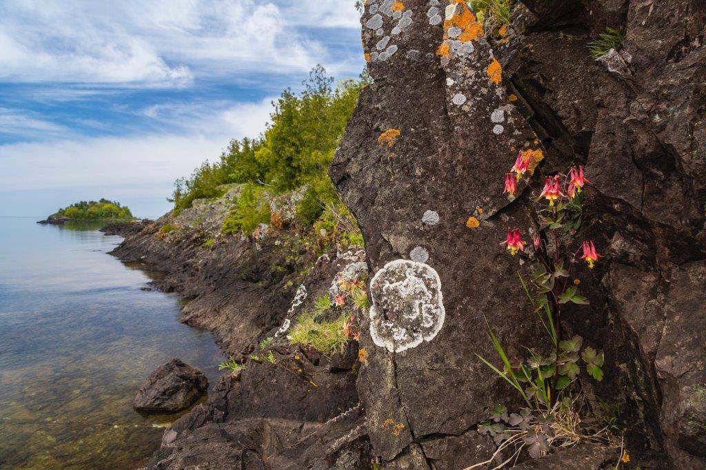
The Indigenous peoples of Lake Superior form deep cultural roots with their communities and their particular unique landscapes. So while Mother Nature may have “built” the water trail with glacial meltwaters 10,000 years ago, it is the diverse geology, arctic botany and remarkable human history dating back millennia that make it so remarkable.
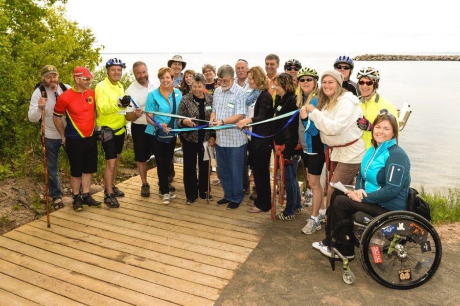
Building those partnerships
In 2011, Trans Canada Trail approached the Lake Superior Watershed Conservancy to collaborate on completing the trail connection by 2017, Canada’s 150th birthday.
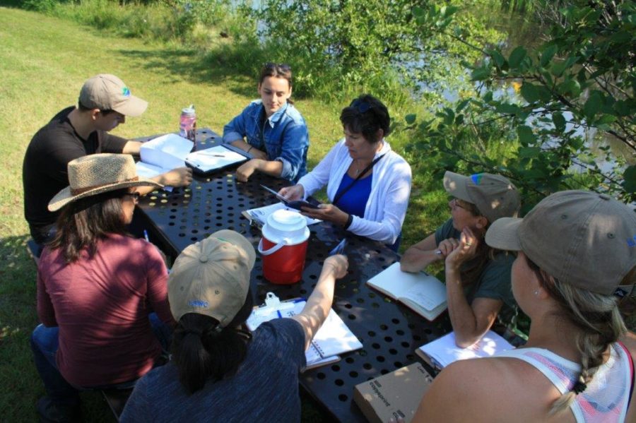
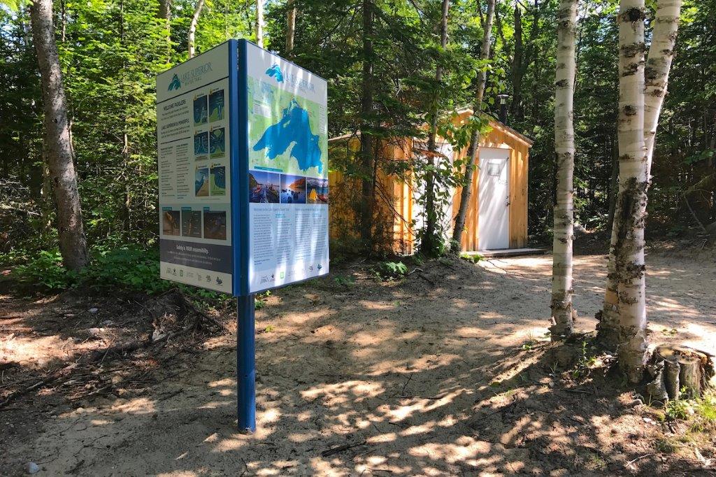
The LSWC and Trans Canada Trail brought together communities and partners to build the accessible access points by installing infrastructure such as docks, washrooms, picnic tables, waste and recycling containers, and signage kiosks.
A cold and unforgiving lake
Safety and training is considered by LSWC to be of paramount importance for water trail users.
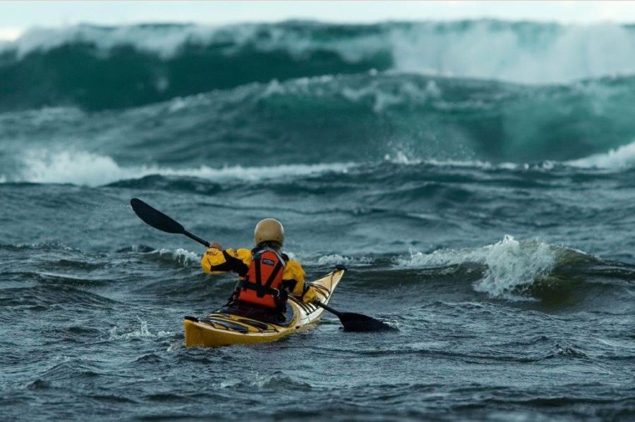
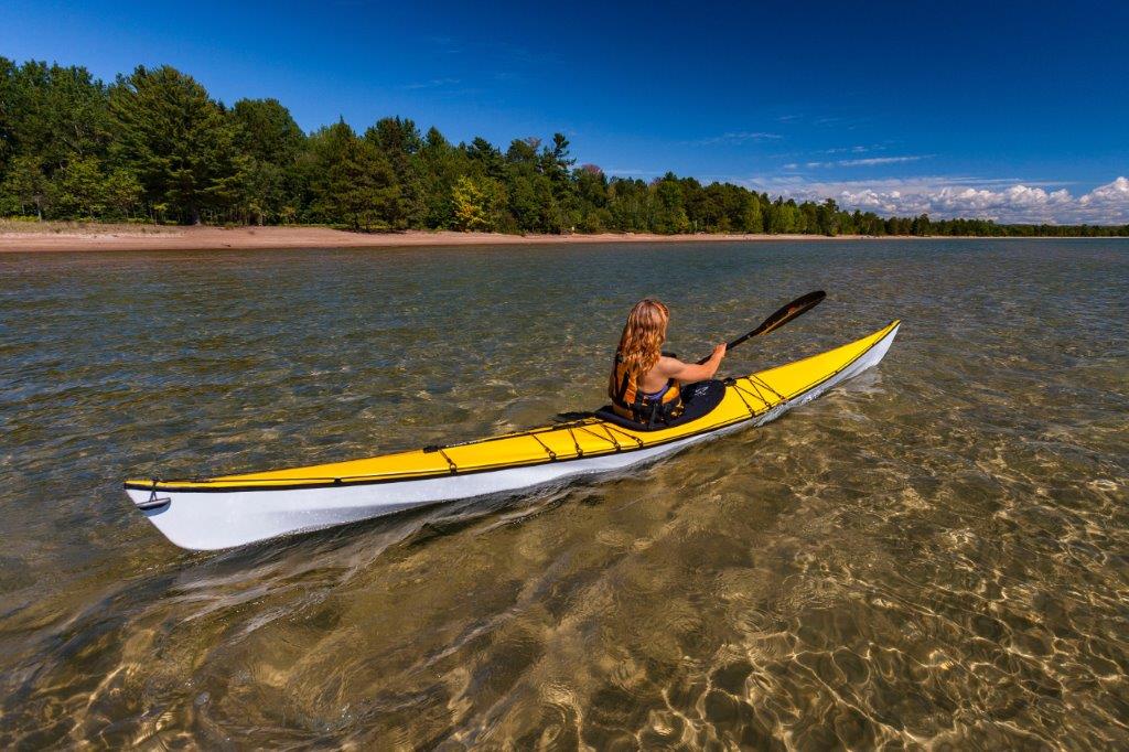
Lake Superior is vast, cold and unforgiving. PFDs should always be worn. The water trail safety information on the LSWC kiosks, and on the website should be followed.
The dream coming true
“The idea of a water trail was not something new,” says Joanie McGuffin, Executive Director of the LSWC, “In fact, in the autumn of 1989 following our summer’s circumnavigation of Lake Superior by canoe, we were part of a small group that gathered in the Apostle Islands National Lakeshore in Wisconsin to discuss the dream of creating a great water trail encircling the entire circumference of Lake Superior. It would be a trail that would unite our nation’s shared histories and give a voice to this special freshwater environment.”
The provincial parks along the trail
Ontario Parks participated in the LSWT through the provision of two main access points at Katherine Cove in Lake Superior Provincial Park, and at Batchawana Bay Provincial Park.
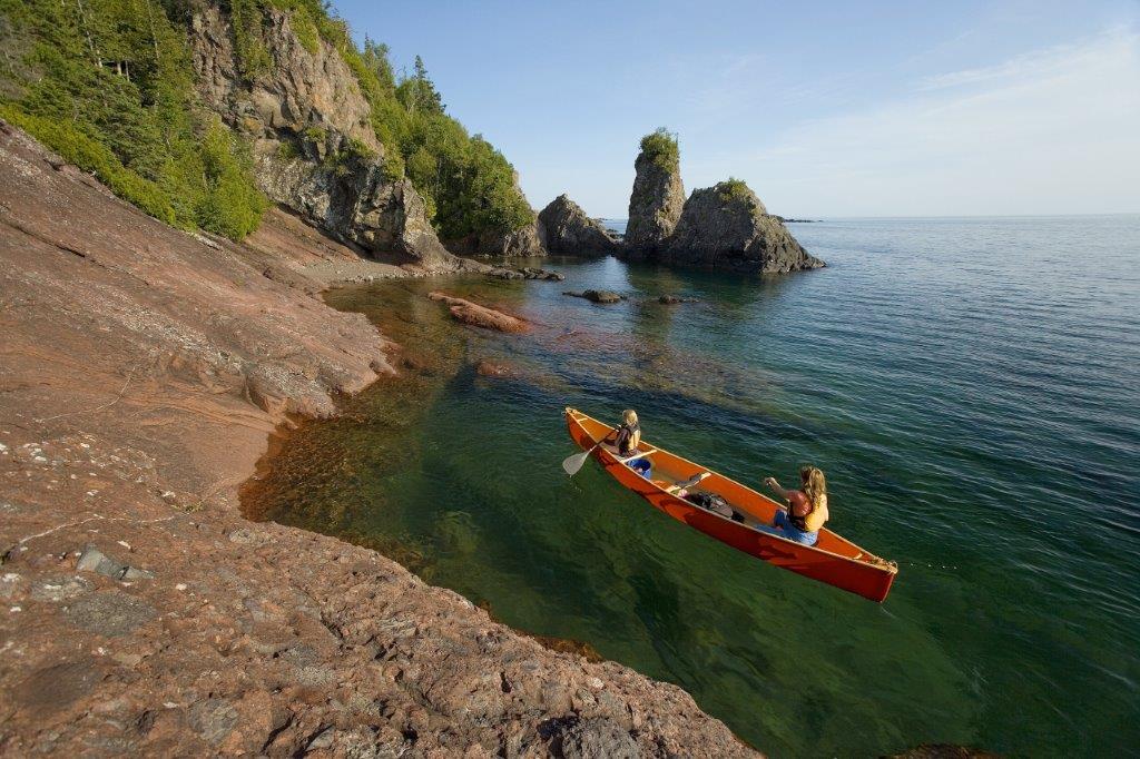
Overall, Ontario Parks offers diverse experiences along the Lake Superior Water Trail. Warm waters and beaches at Batchawana Bay Provincial Park; great sand beaches and camping at Pancake Bay Provincial Park; pictographs, waterfalls, cliffs, wildlife and birdlife and the LSWC Gargantua Islands Preserve at Lake Superior Provincial Park.
Further around the north shore, the trail connects to Michipicoten Provincial Park which was the longest running fur trade post on Lake Superior. At Neys Provincial Park, a huge driftwood covered beach, great camping and a landscape that inspired some of the most famous Group of Seven paintings is a water trail highlight.
Rainbow Falls Provincial Park’s Rossport Campground (further west near Rossport Village) is the gateway to a spectacular island archipelago. Porphyry Island Provincial Park is attached to one of the trail’s historic lighthouses owned and operated by Canadian Lighthouses of Lake Superior, a non-government organization water trail access point partner.

And of course, the famous Sleeping Giant Provincial Park with the province’s highest vertical cliffs is the iconic feature of its namesake provincial park.
More than a trail
The Lake Superior Water Trail is much more than just a trail. It is a network of recreational, cultural, and social opportunities to tell our unique stories on the largest expanse of freshwater on the planet.

McGuffin notes the power of connecting a vast region with a trail: “We need look no further than trails like the Maine Island Water Trail, the Cascadia Marine Trail, the Hudson River Water Trail and the Northern Forest Canoe Trail for great water trail examples.”
Furthermore, there can be no more important voices to underpin the story of the Lake Superior Water Trail than those of the Indigenous peoples of Lake Superior.
The plans continue
The LSWC plans to develop safe, accessible, inclusive on-water experiences for water trail users, whether they’re paddlers or not.
They are continuing to work with the designated water trails around Lake Superior in Michigan, Wisconsin and Minnesota to achieve the dream of a fully connected Lake Superior that unites the people of the lake to this iconic freshwater resource.
Find out more and check out a map of the LSWT here!
The Lake Superior Watershed Conservancy (LSWC) is a charitable land trust that brings together people and communities that love Lake Superior and want to protect it. The LSWC facilitated and oversaw the completion of the Lake Superior Water Trail (LSWT) with the Trans Canada Trail organization.