Today’s post comes from our friends at the Invasive Species Centre.
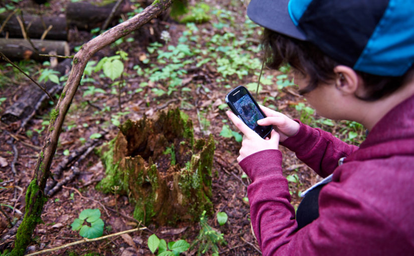
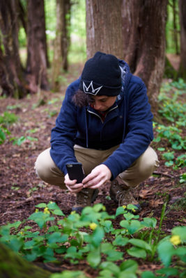
Outdoor adventurers: we need your help. Invasive species are infiltrating our parks and protected areas, but if we don’t know where they are, it’s tough to stop their spread.
Become an Invasive Species Fighter by reporting any suspected sightings of invasive species!
What’s EDDMapS?
EDDMapS stands for Early Detection Distribution Mapping System. It’s an international web-based mapping system for documenting invasive species.
It’s fast, easy to use, and doesn’t require any high-tech gear — just a smart phone will do.
Just enter your invasive species sightings into the app or website, including snapshots and specific information about the infestation.
Here’s how it works:
Where does my data go?
Once you enter a sighting, your info will be immediately loaded to the EDDMapS website for verification.
EDDMapS species experts take a look and if the species is found to be invasive, it is officially mapped and shared on the EDDMapS distribution maps.
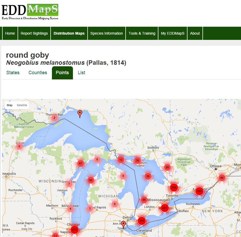
These distribution maps are made freely available to scientists, researchers, land managers, land owners, educators, conservationists, ecologists, farmers, foresters, government personnel, and members of the public to help with invasive species management plans.
Ready to help?
The EDDMapS app is available for iPhone and Android devices. You can download it here.
Not a fan of apps? Report your sightings via the EDDMapS website here.
