Make a Reservation
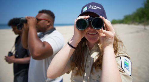
Spring birding festivals
Applications for student jobs are open!
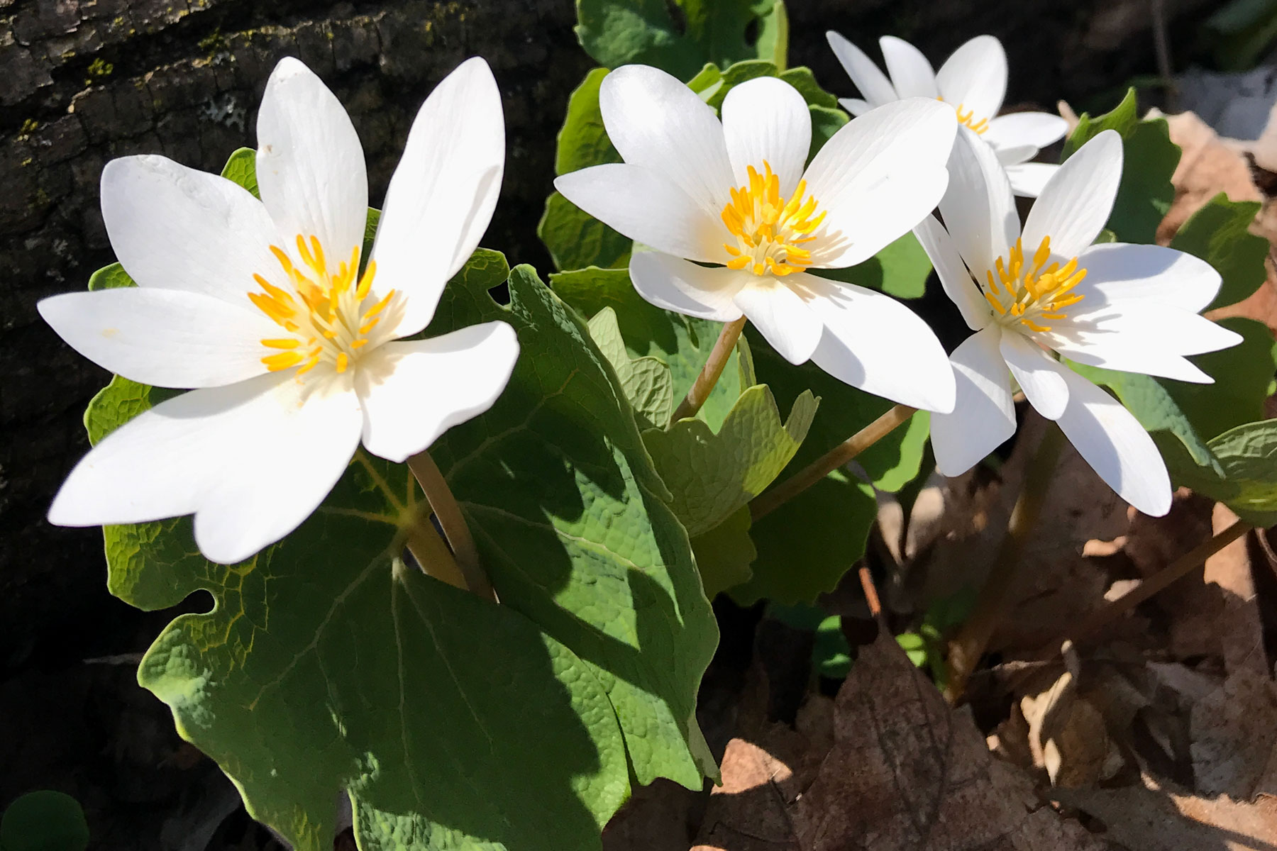
10 signs of spring at Ontario Parks
.jpg)
.jpg)